Date: 16 September 2018
Time: 15:49.32
Distance: 100km (we measured 107.6km)

Pretending to nap behind the registration desk.

Race briefing at 12:45am.

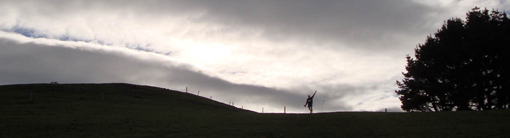
And so it begins. Already tired from lack of sleep, but the 100km awaits.

Too dark to take photos, so this was the last one for the next five hours.

Me, Evander (?) and Elee (the tail-end Charles on the bike).

Lots and lots of flat gravel tracks.

Selfie-time.

Hedgehog scull.

The Hauraki Rail Trail must be the flattest track in the country.

One of the organisers ran in to chat to Elee and then joined us on the way back to his spot.

The first “hill” on the course going over the bridge.

About 700 metres long.


The Kopu aid station.

One of many similar bridges in the section between Kopu and Paeroa.

Team le Roux pic, thanks to Evander.

More than 50kms done, but a lot still ahead.

A few of these garden chairs were attached to trees in this section. 🙂

The turkeys in the front. Love their gobble sound. It always gives me a chuckle.


Passing under one of the roads.

Near Paeroa.

Running through Paeroa. We’ve driven through the town a few times in the past – never thought we’d be running through here as part of a hundee.

One of the road crossings in Paeroa.

Paeroa aid station, which is also the start of the half marathon.

Finally we reached the Karangahake Gorge which is the most scenic part of the course.

Just soldering on to the finish.

Some event signage en route.

On our way to the 1km long tunnel. The exit of the tunnel is just a tiny white dot.

Was it not for the lack of sleep, cold air in the tunnel and my tired body, the tunnel might have been quite enjoyable.

The four of us (Gerry, Evander, Elee and me) were within shouting distance for at least 99% of the course.

Jog time. As the kilometres passed it was getting harder and harder to start running after our walk breaks.

Great to see these two again, and they even “organised” a duck for our amusement (just peeking around the corner at the left of the bridge).

The final aid station.

Much more variety in the last part of the course.

Hitting a sheltered patch.


At long last we reached Waihi.

And got company on the road.

Cute little girls mimicking the Hauraki Rail Trail sign, showing us the way.

So tired, but so relieved to have made it to the finish.
As we were driving up to Thames on Friday morning, the thought of wanting to attempt a 100km run on the tiny amount of training we’ve done the past five months, was not something my mind was willing to deal with. It just ignored the prospect and pretended it wasn’t happening. Only after a good few kilometres into the race did it start to sink in that I was totally and utterly buggered. Continue reading


